
Waukee Neighbor Records by Block
Several official sources describe a Waukee block, but each answers a different question. City address points connect street numbers to PINs. Parcel polygons show lot edges and public property fields. County downloads add roads, precincts, school districts, and boundaries. Permits show work tied to an address. None is a complete roll of Waukee neighbors, and proximity never proves a family or social relationship.
| Source | What It Shows About a Block | Access |
|---|---|---|
| Waukee Address Table and Parcels | Address points, polygons, PINs, subdivision, zoning, legal and mailing fields | ArcGIS query and query by distance |
| Dallas County GIS | Lots, roads, parcels, school districts, city lines, and precincts | Interactive map and spatial downloads |
| Waukee permits | Address, issue date, project type, applicant, and owner fields | Monthly public reports |
| Iowa voter list | Selected registration and election fields for lawful requests | SOS request under Iowa Code |
| Neighborhood Watch | Group formation, police liaison, and civic events | Program page, not a roster |
A parcel mailing name may belong to an owner who lives elsewhere. A permit applicant may be a contractor. A voter lookup starts with a known name and ZIP, so it cannot browse an unknown block. Preserve each database label, record the search date, and seek a second official source before drawing a conclusion about who lives nearby.
Waukee GIS Layers for Neighbors
The Waukee OpenGov FeatureServer exposes Address Table, Parcels, Planned Development District, Zoning, Corporate Boundary, Subdivisions, and Flood Zone layers. Address points include house number, unit, PIN, subdivision, building type, book/page, legal description, and mailing or primary-name fields. Parcels add polygon geometry, acreage, tax district, values, and section-township-range data.
The service supports query by distance, but the inspected metadata did not document a public click-adjacent control or default buffer. Use the response as mapping data, not as a claim about a viewer feature. The Dallas County interactive mapping page provides another parcel route.
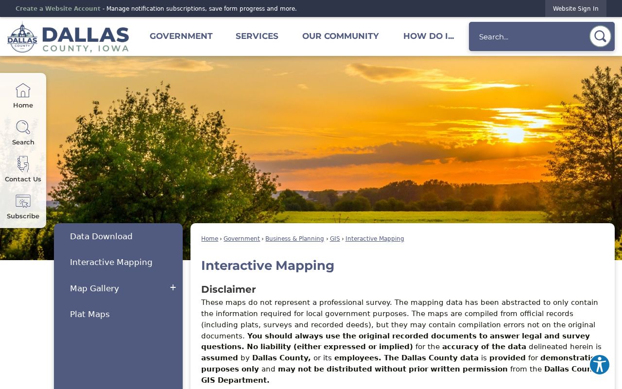
The county warns that mapped data is abstracted from plats, surveys, and deeds. Recorded documents control legal and survey questions.
Map Waukee Neighbors Around You
A careful block search moves from one known address to a small set of surrounding parcels. Preserve the source fields at every stage. This process finds land records and mapped contacts, not a complete list of people inside each building.
- Query the Address Table with the known street address. Save its coordinates and PIN.
- Query Parcels by a small distance around that point. Inspect the returned polygons and PINs.
- Match PINs back to Address Table street numbers. Keep mailing and primary-name labels exact.
- Compare subdivision, zoning, road, and boundary layers for public block context.
- Confirm ownership through the assessor or Recorder, not the map alone.
This narrow radius keeps the inquiry focused on nearby lots. For every parcel on one road, use the broader Waukee street directory workflow.
Download Waukee Block Geography
The Dallas County spatial-download page offers city boundaries, lots, parcels, road centerlines, rights-of-way, school districts, subdivisions, voting precincts, and drainage districts. These layers can explain why nearby lots fall in different districts or developments.
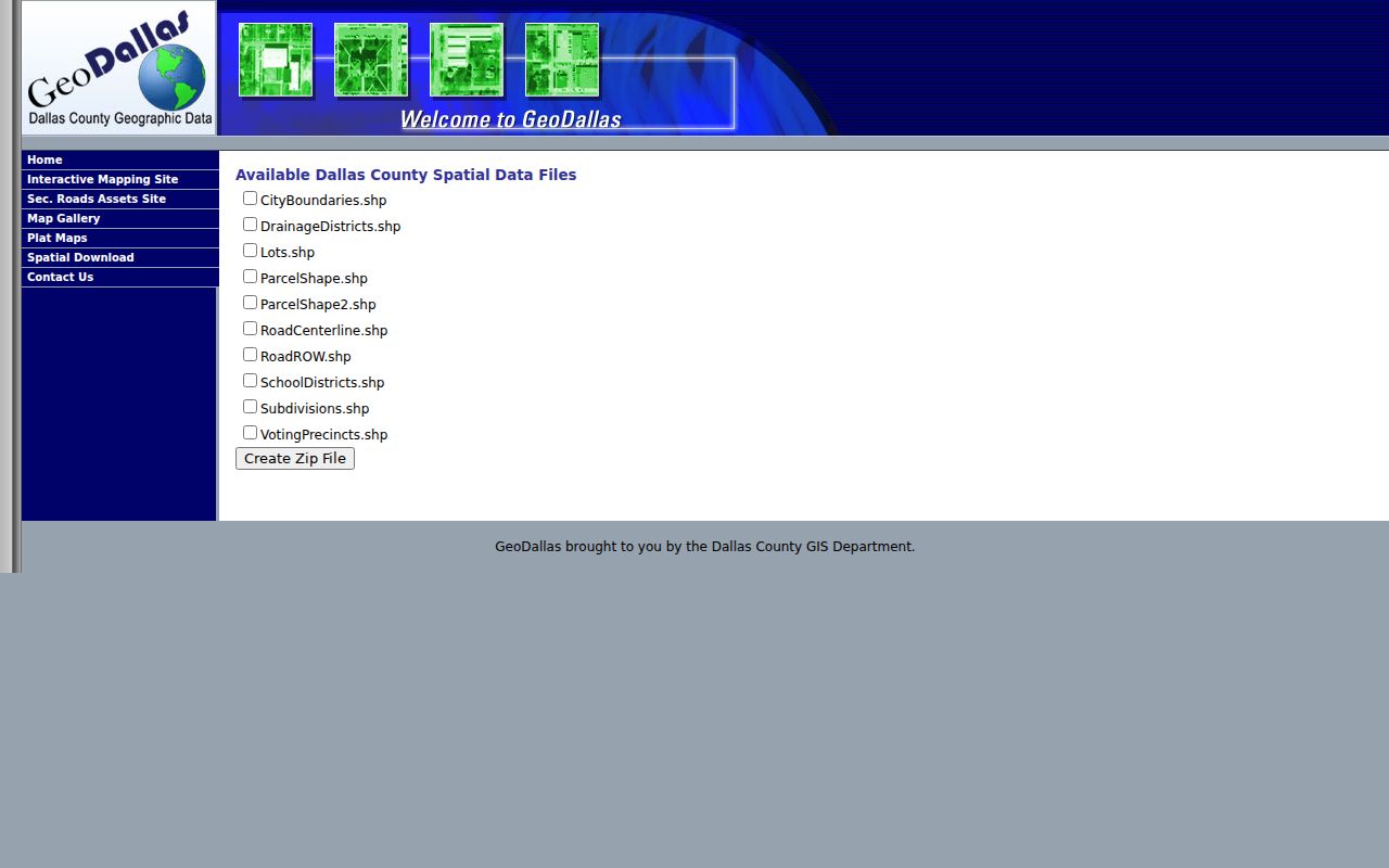
Downloads do not disclose household membership. Date each file because roads, annexations, and subdivision boundaries can change.
Waukee Neighbors and Voter Data
Iowa's public voter lookup checks a known registration by first name, last name, and ZIP. It is not a map browse for unknown Waukee neighbors. Full voter-list requests are separate and governed by Iowa Code sections 48A.38 and 48A.39.
A requester selects the list type, jurisdiction, voter status, format, and field options. Purpose limits apply, and sensitive identifiers are excluded. Do not publish a block-wide voter output casually. A voter record supports one dated registration fact, not a list of everyone inside an address.
The Iowa Secretary of State voter-list request page presents the regulated request route.
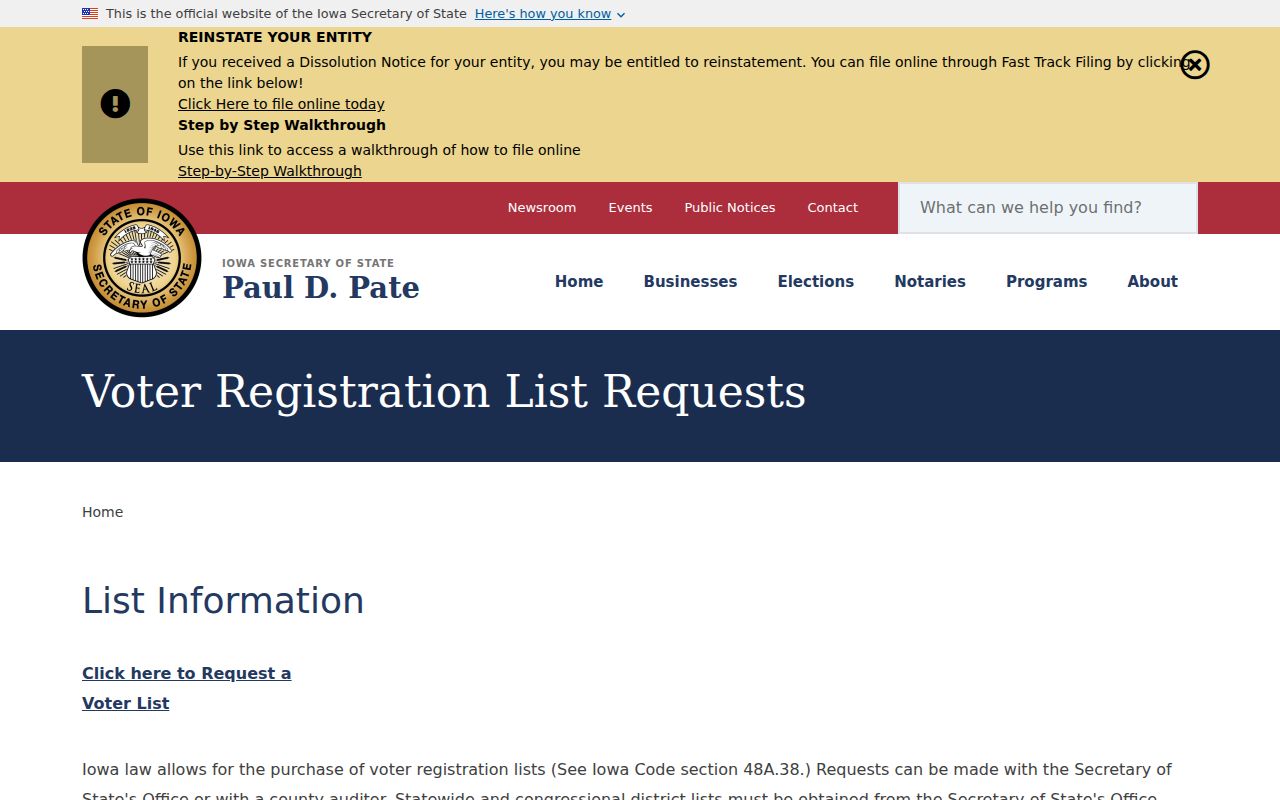
The request screen reinforces the difference between checking one's own registration and ordering data for a permitted use. Dallas County Elections remains the correction route when a known voter disputes a registration address, precinct, or polling place. Election-specific changes can also alter the expected site. Keep the date of the lookup, because voter status and polling assignments can change.
Waukee Neighbor Groups, Not Rosters
No official consolidated HOA or member directory was found. The civic route is Waukee Neighborhood Watch. Residents can form a group, request signs, work with a police liaison, and attend an annual meeting or block party. Officer Brian Murra is listed as contact; police is 515-978-7979 and non-emergency dispatch is 515-222-3321 or 515-222-3322.
Neighborhood Watch
Group formation, signs, police liaison, and civic gatherings. No member names.
Development records
Dated plats and project plans identify roads, lots, and build phases.
Local history
Library newspapers, photographs, and oral histories explain older community ties.
The official program is a consent-based way to meet people.
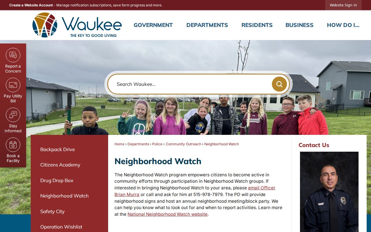
Its lack of a public roster is a privacy boundary, not a research gap to fill through inference.
Named Waukee Neighborhood Geography
The Waukee Subdevelopments page identifies Kettlestone Central as 164 acres near Grand Prairie Parkway and Westown Parkway, and KeeTown Loop as 40 acres. Current plans also name Autumn Valley, Glynn Village, Spyglass, Ridge Pointe, Spring Crest, Westown Meadows, Stratford Crossing, Painted Woods, Waukee Towne Center, and Kettlestone. Verify boundaries in each dated plat.
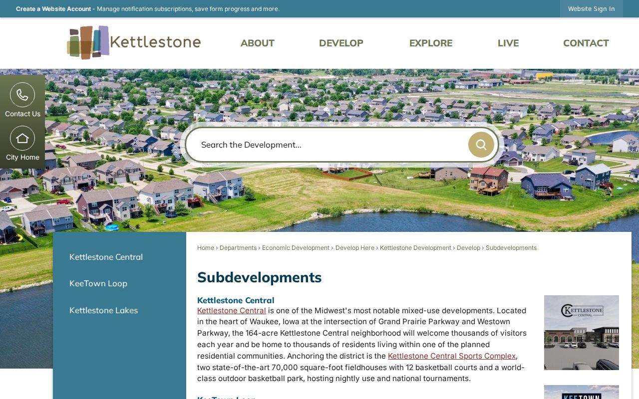
A development name is a geography clue, not proof of an HOA or a person's membership.
Parks Anchor Waukee Neighbor Searches
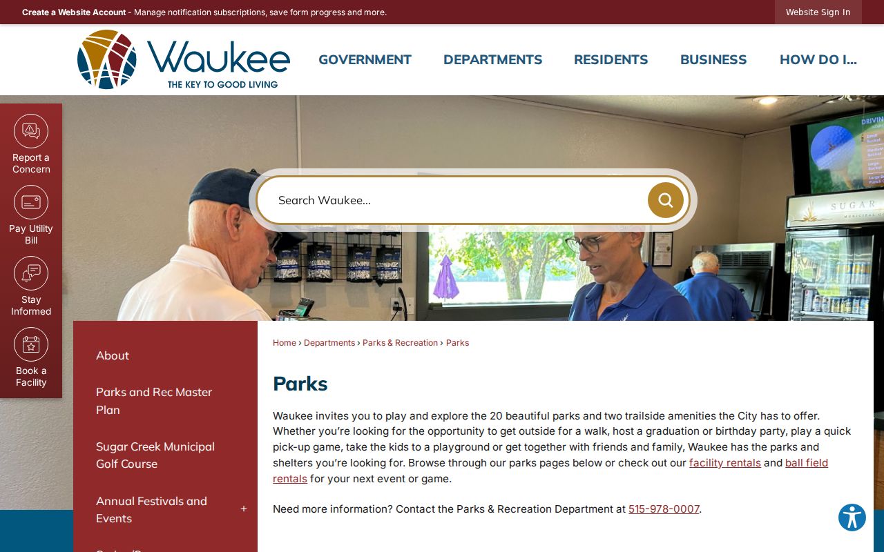
The Waukee parks directory names 20 parks and two trail amenities, including Historic Triangle Park, Ridge Pointe, Glynn Village, Spring Crest, and Songbird. These public places help select the right plan or subdivision without identifying private residents.
The Civic Campus is another changing anchor. Its 220-acre plan was adopted in March 2025 for a long buildout, so later roads and parcels need a dated map.
Official Waukee Sources Compare Better
Commercial neighbor tools may merge public records and web material without showing when a field changed. Official sources are narrower, but the custodian, date, label, and limits are visible.
| Route | Strength | Limit |
|---|---|---|
| Official records | Dated map, parcel, permit, and plan fields | No complete household roll |
| Community programs | Consent-based civic contact | No private roster |
| Commercial category | May combine sources | Stale addresses and unclear provenance |
Never turn a mailing name, nearby parcel, or old entry into a claim of current residence.
A sound block note states exactly what was found: a named field on a dated parcel response, a permit tied to an address, or a subdivision shown on a plan. It also states what remains unknown. That plain distinction prevents a property clue from becoming an unsupported claim about Waukee neighbors. When two records conflict, contact the office that keeps the more direct record and preserve both dates.
Protect Privacy in Waukee Lookups
Maps do not reveal every renter, child, household member, utility customer, delivery record, or private association contact. Iowa Safe at Home gives eligible survivors a substitute address, mail forwarding, and confidential voter services. It does not erase preexisting public records and does not apply to real-estate records. That exception is never permission to defeat the protection by joining old and new data.
Keep a neighbor inquiry tied to land, civic participation, history, or personal safety. If an office does not publish a private roster, accept that boundary.
Lawful use. Waukee neighbor research supports civic curiosity, history, and personal safety. Never use it to watch, intimidate, expose, or harass another person.