
Waukee ZIP Coverage at Glance
USPS officially verifies 50263 as Waukee, Iowa. The research did not identify a separate Waukee PO-box-only code, unique institutional code, or documented local ZIP split. That makes the Waukee ZIP code directory look simple, but postal service geography still must not be confused with the municipal line. A 50263 mailing label can organize a search; it cannot by itself prove that a parcel lies inside Waukee.
| ZIP | Area Described | Postal Check | Boundary Note |
|---|---|---|---|
| 50263 | Waukee mailing area confirmed by USPS | USPS ZIP Code Lookup | Compare each address with the Waukee corporate-boundary and parcel layers |
Neighborhood names such as Kettlestone, KeeTown Loop, Glynn Village, Ridge Pointe, Spring Crest, Spyglass, Painted Woods, Stratford Crossing, Westown Meadows, and Waukee Towne Center help locate an address, but none is a substitute for the postal result or city map. Use the ZIP, subdivision, parcel, and city boundary as four distinct labels.
Verify a Waukee ZIP
The USPS ZIP Code Lookup is the controlling postal source. Its three modes answer different questions: find a ZIP by street address, find ZIP codes by city and state, or find cities associated with a ZIP. Use the street-address mode when one home or business is known. Use city and state only for a broad check.
| USPS Mode | Fields or Input | Best Use |
|---|---|---|
| By Address | Company, street, unit, city, state, ZIP | Confirm the postal form of one Waukee address |
| By City and State | City and state | Confirm the city-associated ZIP result |
| Cities by ZIP | ZIP code | Check the mailing-city names tied to a code |
The official USPS screen shows the postal lookup entry point used for the Waukee ZIP code directory.
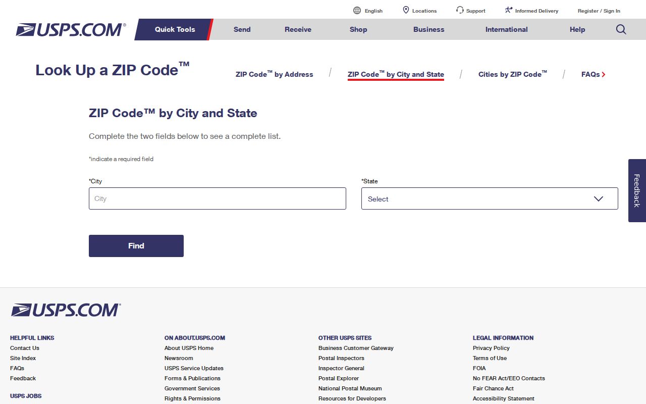
Copy the standardized result exactly, including any unit, directional, suffix, and ZIP+4. Then carry that address into GIS or county parcel tools without changing its parts.
Find Waukee Residents by ZIP
A ZIP filter works best as a narrowing step. It is not a list of everyone in the postal area. The public voter lookup requires a name as well as the ZIP, and the Waukee GIS service publishes address and parcel fields but no ZIP polygon layer. Follow a source-specific sequence:
- Verify 50263 or the full address in USPS. Keep the standardized street and unit form.
- Use Waukee GIS or the Dallas County Assessor to connect the physical address with a parcel, PIN, subdivision, legal description, and mailing field.
- For a registration question, enter first name, last name, and the five-digit ZIP in the Iowa voter lookup. A non-match goes to the Dallas County Auditor.
- When the task becomes address-by-address research, use the Waukee street directory workflow for the full parcel and deed trail.
A full voter-file request is not an open ZIP download. Iowa Code sections 48A.38 and 48A.39 impose purpose and use limits, a charge, and a preparation schedule. The public self-lookup is the right path for an individual registration check.
Compare Waukee Address Keys
Records describe the same place in several ways. The Waukee Address Table exposes address points with street components, unit, primary and mailing names, subdivision, building, and utility context. The Parcels layer adds polygons, the parcel identification number, legal description, values, exemptions, zoning, tax districts, and mailing fields. The Recorder then uses the legal parcel language in deeds and plats.
| Address Key | Meaning | Where It Matters |
|---|---|---|
| Postal address | USPS delivery form, including unit and ZIP | Mail and USPS verification |
| Situs address | The physical location assigned to a parcel | Assessor and GIS searches |
| Mailing address | Where tax or owner mail is sent | Parcel correspondence; may be outside Waukee |
| Legal description | Lot, block, subdivision, or survey description | Deeds, plats, and title work |
Do not force these fields to agree. A mailing address outside Iowa can belong to an owner of a physical Waukee parcel. That is a records distinction, not an error.
Map Waukee Beyond ZIP Codes
The Waukee OpenGov GIS service publishes seven inspectable layers: flood zones, parcels, addresses, corporate boundary and subdivisions, zoning, PD-1 zoning, and tax increment finance areas. No ZIP layer appeared in that service. Use its Corporate Boundary and Subdivisions layer to answer a city-limit question after USPS answers the postal question.
The public GIS layers screen makes the missing ZIP layer visible and keeps Waukee's municipal geography separate from postal geography.
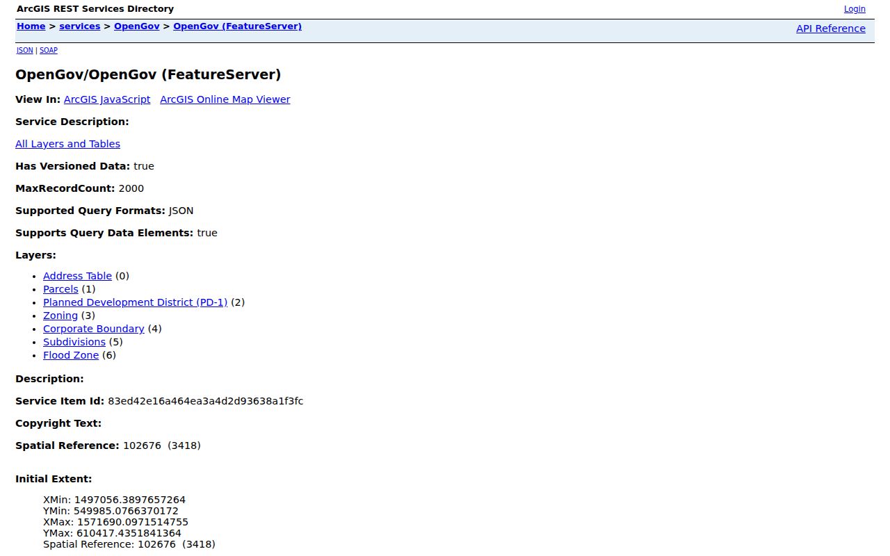
For countywide context, Dallas County Interactive Mapping and its spatial downloads add parcels, roads, subdivisions, voting precincts, zoning, flood areas, and other layers. GIS is an orientation tool, not a legal survey or recorded deed.
Note: Date every map result because Waukee annexation, plats, and development work can change which city layer covers an address.
Waukee ZIP and City Limits
A ZIP code is built for mail delivery. A city boundary is set through municipal law, annexation, and recorded geography. The two systems answer different questions. For a Waukee address near growth areas, check USPS, the city corporate boundary, the parcel record, and any dated annexation or plat document. Do not infer a school district, voting precinct, utility provider, or tax district from 50263 alone.
- ZIP versus ZIP+4
- A five-digit ZIP covers a postal delivery area; ZIP+4 narrows the route to a smaller delivery segment.
- PO-box ZIP
- A code used chiefly or solely for post-office boxes. No separate Waukee example was verified in the research.
- Unique ZIP
- A code assigned to one high-volume recipient. No Waukee unique ZIP was found.
- Carrier route
- A USPS delivery path within a ZIP, not a city, parcel, or election boundary.
Boundary check. A Waukee mailing name and ZIP do not, by themselves, establish that the address sits within Waukee city limits.
Waukee ZIP Growth Context
Waukee's fast growth makes saved map dates especially useful. The city's 2024 special census counted 31,823 people and 13,973 dwelling units as of June 1. Census QuickFacts separately estimated 34,420 residents for July 1, 2024. Those figures come from different products and dates. Neither number is a directory of residents, and neither should be used to estimate who lives in a specific part of 50263.
The special-census page records the official local count and its purpose.
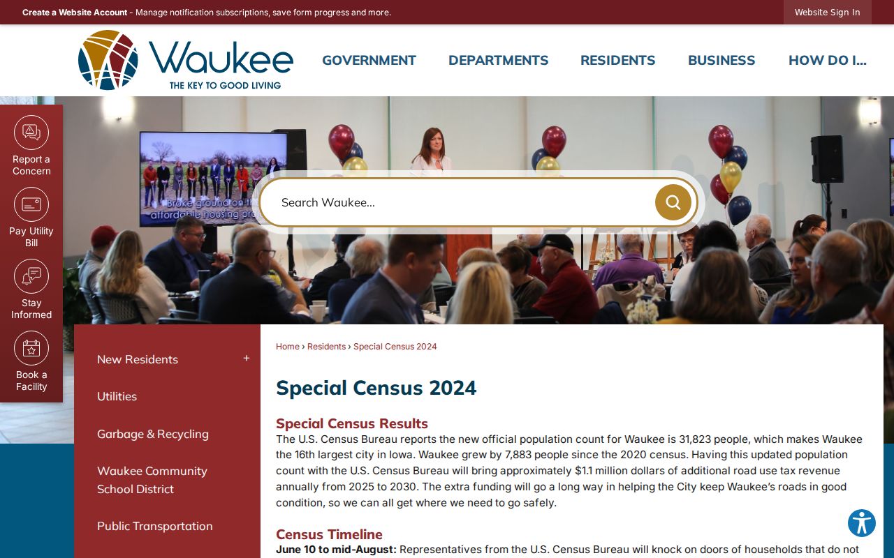
The count was 7,883 above the 2020 census, one sign that postal, parcel, road, and city records need dates attached. Population totals describe Waukee as a whole, not a ZIP roster.
Waukee Plans Reshape Searches
The Waukee Civic Campus plan, adopted in March 2025, covers 220 acres near 6th Street and University Avenue with a proposed 20-to-30-year buildout. Planned road realignments and extensions can alter how future searches connect a road name, parcel, and municipal boundary. Save the plan title, adoption date, and the GIS response used for research.
The city page places the Civic Campus in its long-range Waukee setting.
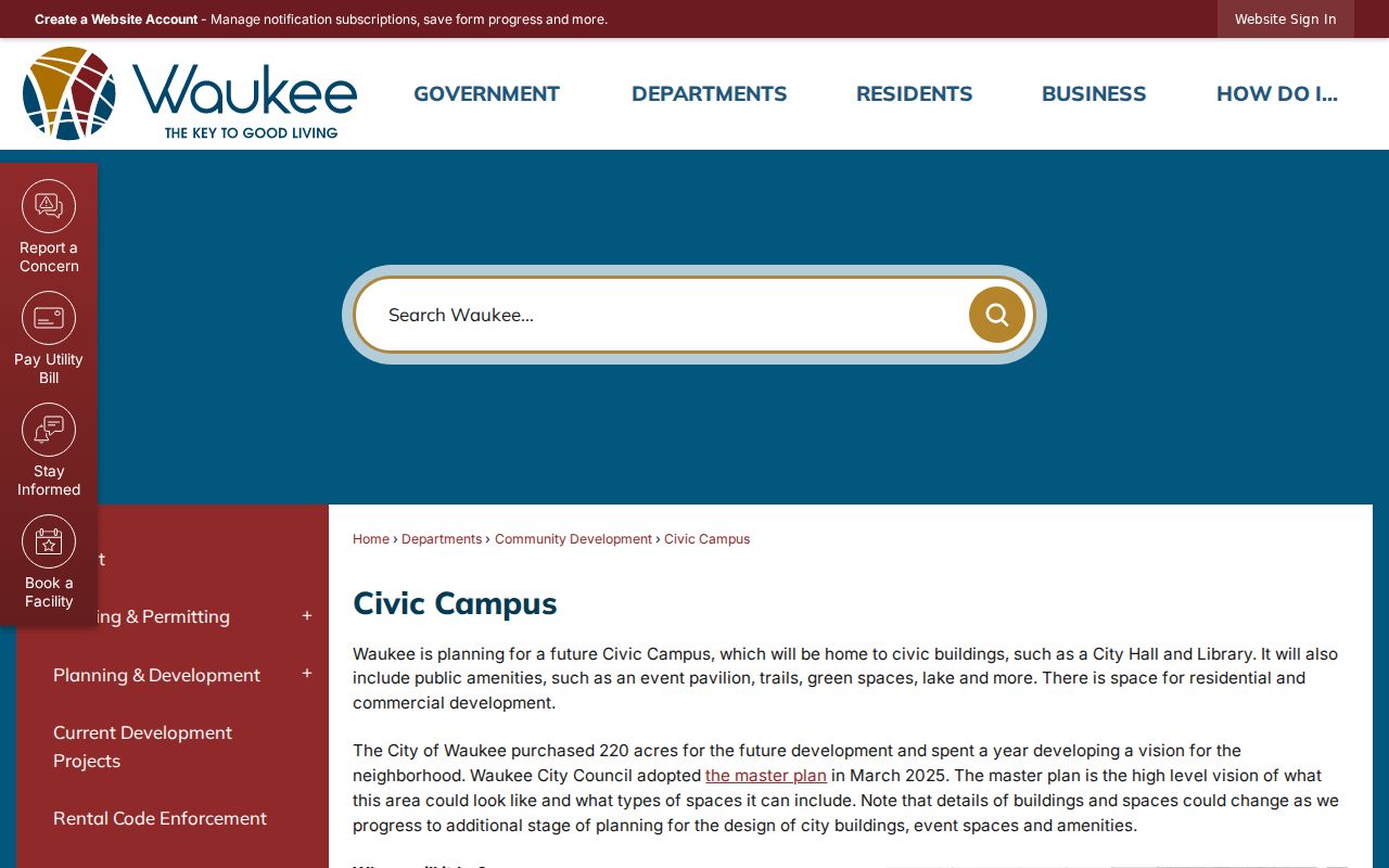
Current-development pages also identify Grand Prairie Parkway, Westown Parkway, Alice's Road, and named subdivisions. These place names help reconcile a new address with a dated plat, but USPS still controls the postal form.
Older Waukee Addresses Need Context
Modern ZIP searches do not reach Waukee's earliest address history. The town was laid out beside the railroad in 1869, and the rail line cuts the historic downtown grid at an angle known as the Triangle. Coal-camp references may point toward Harris Mine, Shuler Mine, or the South and North Camp area near today's Alice's Road rather than a modern numbered address.
Historic reverse or criss-cross directories list entries by address instead of only by surname. Regional collections at the Des Moines Public Library include digitized Polk directories from 1866 through 1922, broader microfilm and print runs, and phone books from 1957 onward. Waukee-specific ZIP split or street-renumbering documentation was not found. For an old address, pair a directory or newspaper date with the modern GIS map and a deed or plat.
Note: A historic street label should be tied to a dated volume, page, map, or deed before it is matched with present-day 50263.