
Waukee Previous-Resident Sources
No single roll names every person who occupied a Waukee address. The best source depends on the era and on whether the question concerns legal title or day-to-day occupancy. Start with the current parcel and then move to sources made closest to the period under study. Dallas County land books carry a title trail deep into the nineteenth century. Regional directories, newspapers, and census schedules add household evidence, while current city permits help date recent changes.
| Source | Years It Covers | Where Held | What It Shows |
|---|---|---|---|
| Dallas County land and town-lot records | 1849-1903, by series | Recorder and SHSI | Grantor, grantee, lot, mortgage, and legal-description trail |
| Regional city directories | 1866-1922 digitized; later formats vary | Des Moines Public Library | Alphabetical and street-guide entries that must be checked for Waukee |
| Dallas County newspapers | From 1866 | Waukee Public Library online resources | Obituaries, notices, address references, and community events |
| Iowa and federal census | Iowa 1850-1925; federal releases follow the 72-year rule | SHSI and library databases | Households, relationships, ages, and place context |
| Waukee permit reports | May 2023-July 2026 in the inspected archive | City permit archive | Address, issue date, project type, valuation, applicant, and owner fields |
For a recent property, capture the parcel identification number, or PIN, and legal description first. For an older household, use the nearest directory or census year, then test each name against a newspaper, deed, probate file, or school record. A source dated near the event carries more weight than a later recollection. A mailing name in GIS is not proof that the person lived there.
The search for previous residents becomes stronger when title and household sources agree. When they differ, keep both findings and investigate the gap.
Start With Waukee's Current PIN
The Waukee OpenGov ArcGIS service separates address points from parcel polygons. Its Address Table includes the house number, street, unit, PIN, subdivision, legal description, building type, year built, book/page, and mailing and primary-name fields. The Parcel layer adds county ID, acreage, section-township-range, tax district, assessed values, and fuller legal descriptions. Save the query date because these are current records.
Copy the legal description exactly. Street numbers may change, but a recorded lot and block or section description can bridge old and new records. Treat MailNameOne and PrimaryNameOne as labels from the database, not claims of residence. Confirm ownership through the assessor or a recorded deed. The current-address method is developed further in the Waukee street directory.
Walk Back Dallas County Deeds
The Dallas County Recorder keeps deeds, mortgages, and other instruments affecting real estate. A chain of title is the linked series of transfers for the same land. Work backward from a known current record, carrying the legal description through each search. The online AVA application is a starting index, but the research did not establish its imaging cutoff or every live search field. Older work may require the office in Adel, SHSI microfilm, FamilySearch catalog material, or deed books.
- Record the current PIN, owner field, property address, and legal description from GIS and the assessor.
- Find that owner's purchase deed. Note the recording date, instrument or book/page, grantor, grantee, and prior-instrument reference.
- Search the seller as an earlier grantee. Match the legal description rather than relying only on a street number.
- Follow plat, lot, acreage, and predecessor-parcel references when land was split or replatted.
- When online images end, contact the Recorder or use SHSI county microfilm and deed books.
- Grantor / grantee
- The grantor transfers an interest; the grantee receives it.
- Chain of title
- The sequence of recorded transfers tied to the same land.
- Legal description
- The lot, block, plat, or survey wording that identifies land more reliably than a postal address.
Waukee Land Records Before AVA
The SHSI Dallas County inventory gives a precise route when a web index runs out. Recorder land deeds span 1849-1902, with a land index from 1857-1903. Town-lot records cover 1855-1902, with an index from 1853-1903. The collection also includes original-entry abstracts, mortgages, homestead records, affidavits, and miscellaneous records. Those series are not interchangeable, so note the book title and year range before requesting film.
The broader Iowa county-records collection page shows how to route a request by county and record series.
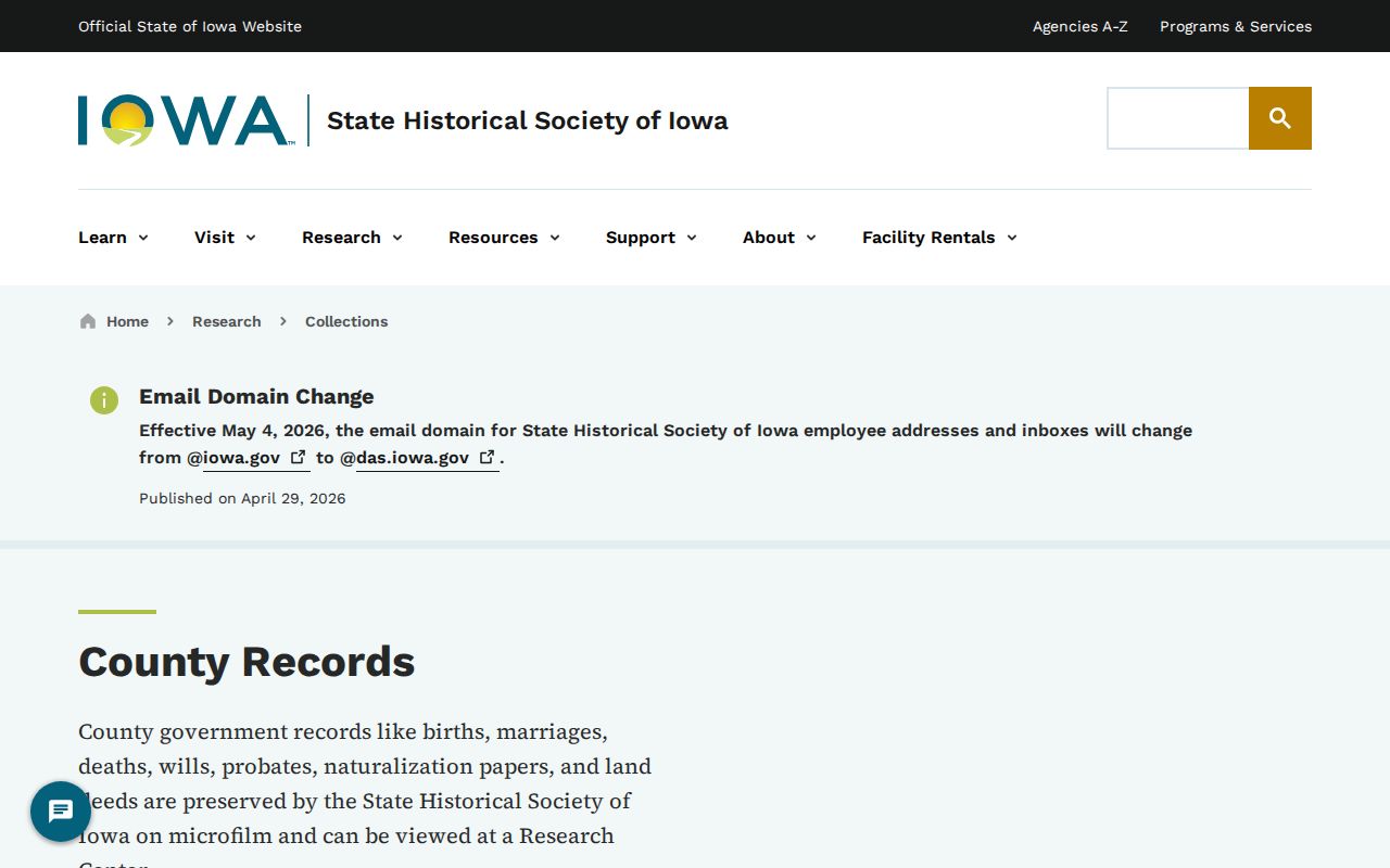
The collection screen is a finding aid, not the deed itself. Use its series title and dates when contacting staff or requesting microfilm.
The SHSI Research Center offers in-person access, with advance contact advised for archival material. Its interlibrary-loan program can route newspapers, census, maps, and some microfilm through a local library for the listed transaction fee. Paid reference work is another channel. Missing web results do not prove that a deed was lost.
Note: Dallas County's first recorder served in 1849, linking the modern office to the earliest surviving land series used here.
Waukee Permits Date New Eras
The Waukee monthly permit archive can mark a recent addition, new structure, or major alteration. Inspected reports ran from May 2023 through July 2026 and included record number, address, project type, issue date, valuation, square footage, and applicant or owner fields. A permit applicant may be a builder, so do not convert that field into a resident name.
Plats and city development files help when the property did not exist in its present form. Current project pages carry dated site plans and road names, while the GIS Subdivisions layer places the parcel in current geography. If an address search fails, ask the City Clerk for the plat or ordinance tied to the road and date. No official Waukee renumbering chronology was found, so an apparent break should be researched, not guessed.
When Waukee Addresses Shift
The railroad formed Waukee's historic triangular downtown by cutting across the street grid at an angle. That shape can help reconcile an old frontage description with a modern parcel. The city was founded beside the railroad in 1869 and incorporated in 1878, so early newspapers or deeds may use settlement and rail references instead of today's subdivision names.
Library of Congress Sanborn guidance explains how fire-insurance maps can show building footprints, use, streets, lots, and water features. No verified Waukee edition surfaced in the research, so check town-name variants and the SHSI or University of Iowa holdings before citing one. The safe bridge is old description to plat, then plat to current GIS.
Coal Camps Complicate Waukee History
Some previous residents cannot be found through a modern house number. Harris Mine opened in 1920 northeast of Hickman, and Shuler Mine opened in 1921 and closed in 1949. The mine camp included families from Italy, Croatia, and Sweden, along with a school, churches, stores, and gathering places. The former camp area lies near Alice's Road, named for Alice Nizzi.
The Coal Mine Museum and library oral histories preserve photographs and accounts from mining descendants. Use a dated oral history, newspaper, census, or land record to connect a family to the camp. The research did not find a map assigning every camp house an exact present address.
For mine-camp previous residents, a place name or employer may be the only stable link between records made in different years.
Confirm Waukee's Past Households
A deed proves a recorded interest, not occupancy. Test an owner's name against a directory, census schedule, newspaper, or obituary. Regional city directories offer alphabetical and street-guide functions, but each Waukee appearance must be checked page by page. The Waukee city directory collections explains those holdings without turning one possible entry into proof.
- Choose a deed or directory date and copy the name and address exactly.
- Check the nearest released federal census or an Iowa census through 1925.
- Compare household names, ages, and place details without assuming that nearby names are relatives.
- Search Dallas County Newspapers from 1866 for notices, events, and obituaries.
- Use probate, cemetery, or death records to close the trail when a person died.
The SHSI probate inventory includes wills, estate and heir records, calendars, and indexes with distinct year spans. Waukee Public Library provides HeritageQuest, county newspapers, digital collections, and staff help, but it does not advertise a complete house-history index. Record both successful and failed searches so a gap is not mistaken for a move.
Lawful use. Research Waukee previous residents for house history, genealogy, and personal curiosity. Never use a historical trail to track, expose, or harass a living person.